Google has collected more aerial imagery showing the post-quake/tsunami devastation of the Sendai, Japan area. The company says that these new higher resolution images can now be seen in Google Earth and will soon be on Google Maps as well. Over on its official blog, Google explains:
We hope our effort to deliver up-to-date imagery provides the relief organizations and volunteers working around the clock with the data they need to better understand the current conditions on the ground. We also hope these tools help our millions of users—both those in Japan and those closely watching and sending their support from all over the globe—to find useful information about the affected areas.
Google’s repertoire of services has been of great value for those who need to share information related to the disaster. Here’s a quick rundown of a few more examples below. If you know of others, let us know in the comments.
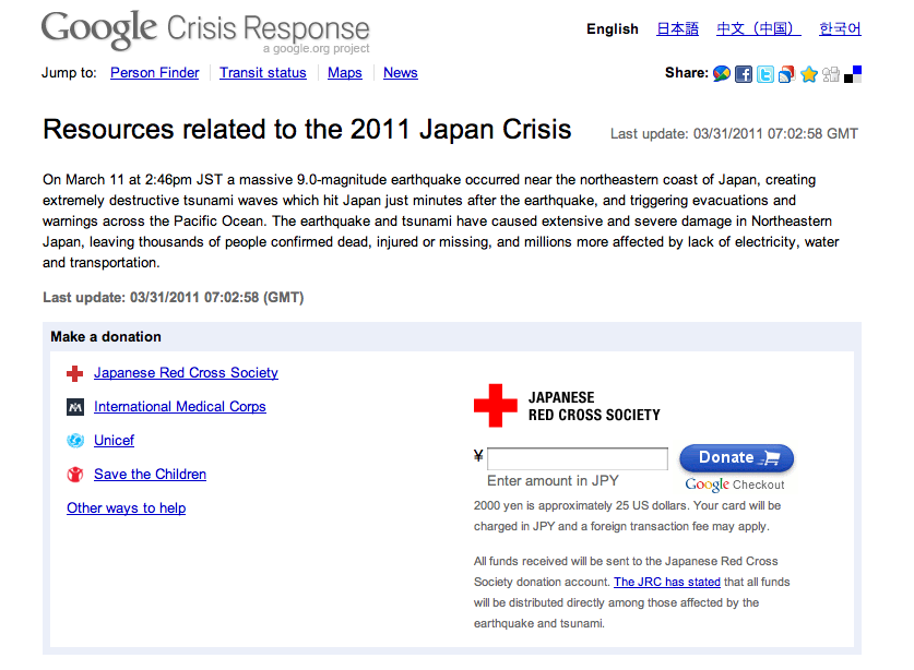
Google Crisis Response Page
Google’s Crisis Response page is a gateway to much helpful information, most notably Google’s Person Finder. There is also donation information, including an area where you can donate to Japanese Red Cross Society via Google Checkout.
Google Picasa
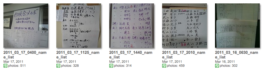
In order to help people find family members, photos of shelter lists in affected areas are being uploaded to Google Picasa.
Google Docs/Spreadsheets
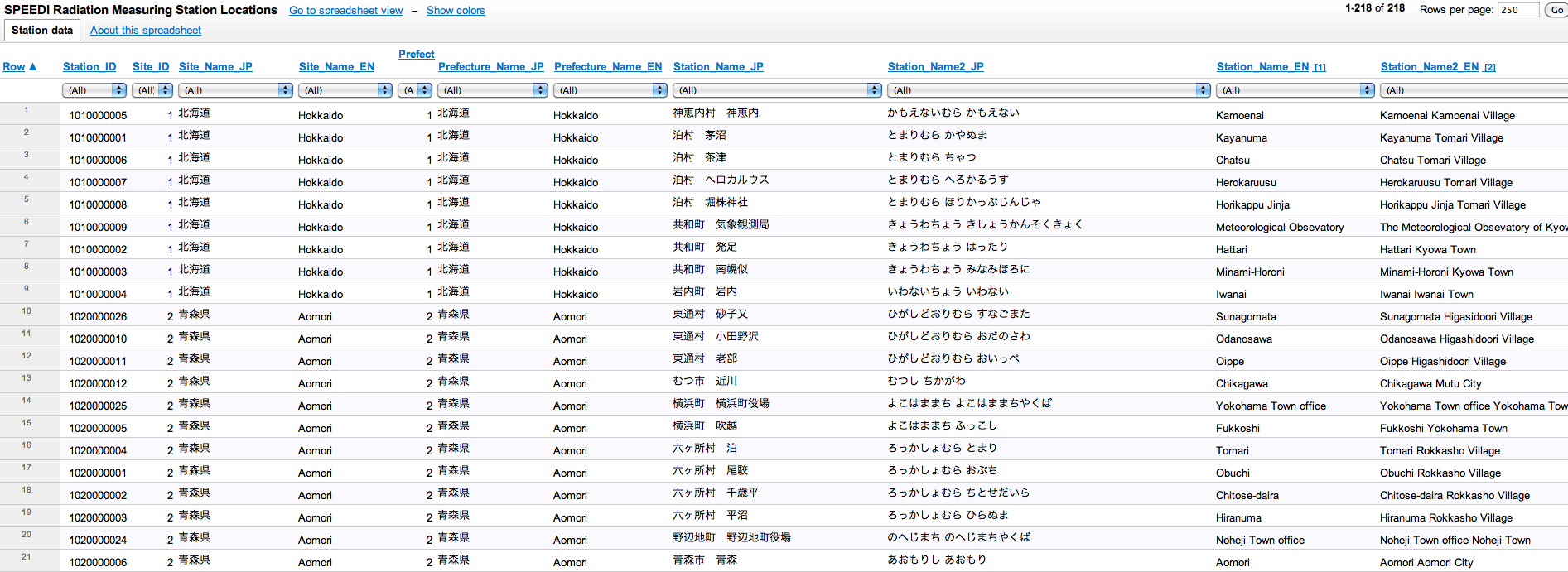
Marian Steinbach (who I’ve written about elsewhere) has done some great work collecting radiation data using Google Spreadsheets. Others such as Geir Endahl, Ross Perez at Tableau Public, and many more have built upon his initial work.





Stay updated on the go with our mobile app.
Get latest insights with smoother, more personalized experience through TIA mobile app.