J.T. Quigley · · 3 min read
Japan is pioneering satellite tech that’s accurate down to centimeters
Many of us would be quite literally lost without GPS, but the almighty blue dot isn’t always – pardon the pun – spot on. According to the most recent data from GPS.gov, modern GPS satellites are accurate to within 3.5 meters, depending on external factors such as signal strength and weather. That’s a wide enough margin of error to send you to the building next door to your desired location, especially in a crowded urban environment.
In practice, the blue dot has been known to appear further than a few meters away – and somehow always when there’s a hot date or job interview waiting at the destination.
Mitsubishi Electric’s new satellite array may become the best defense against wandering blue dot disorder. The “Quasi-Zenith Satellite system” (QZSS), showed off last week at Japan’s annual CEATEC convention, promises to be accurate down to centimeters – strong enough to pinpoint a dollhouse.
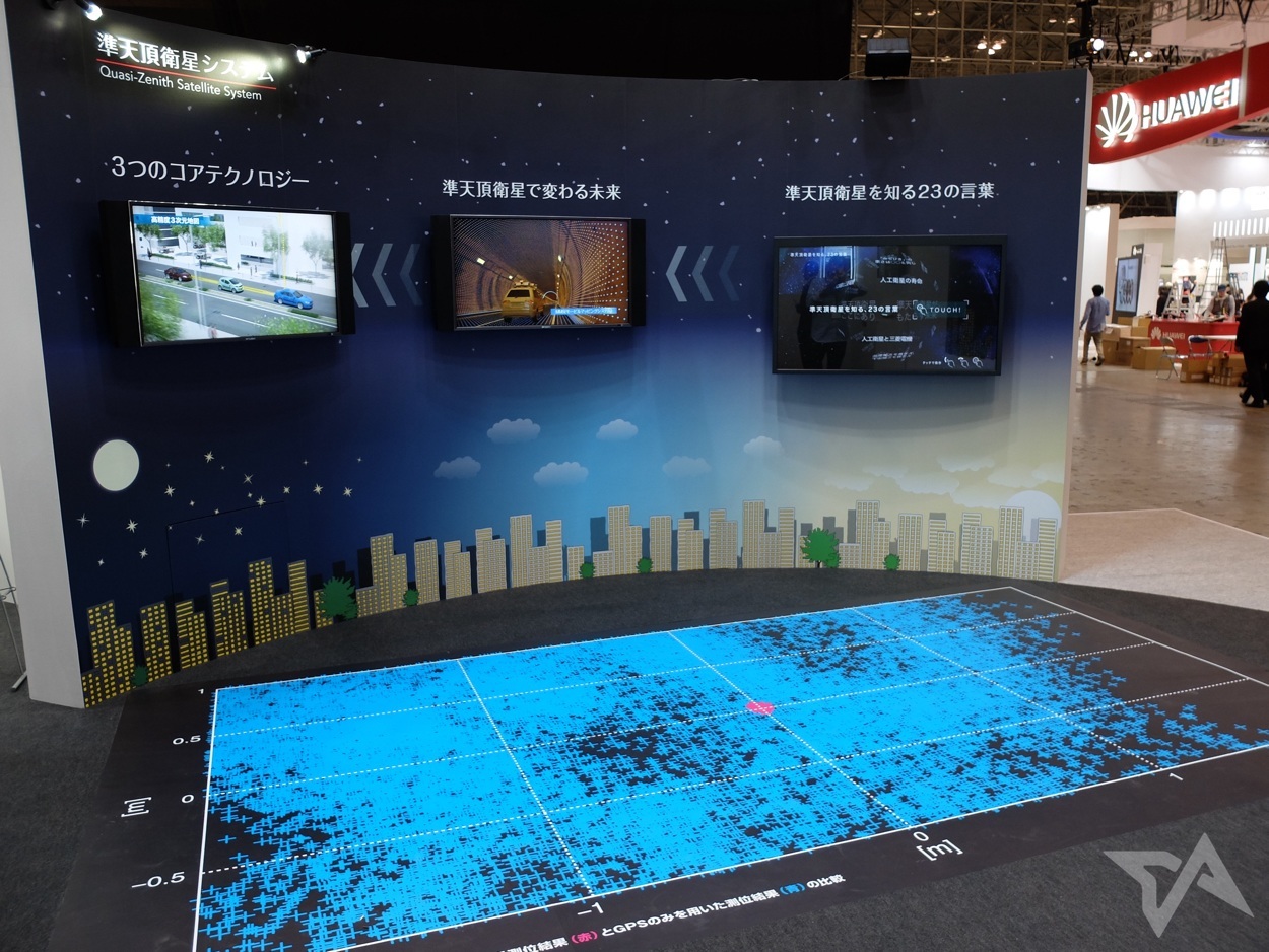
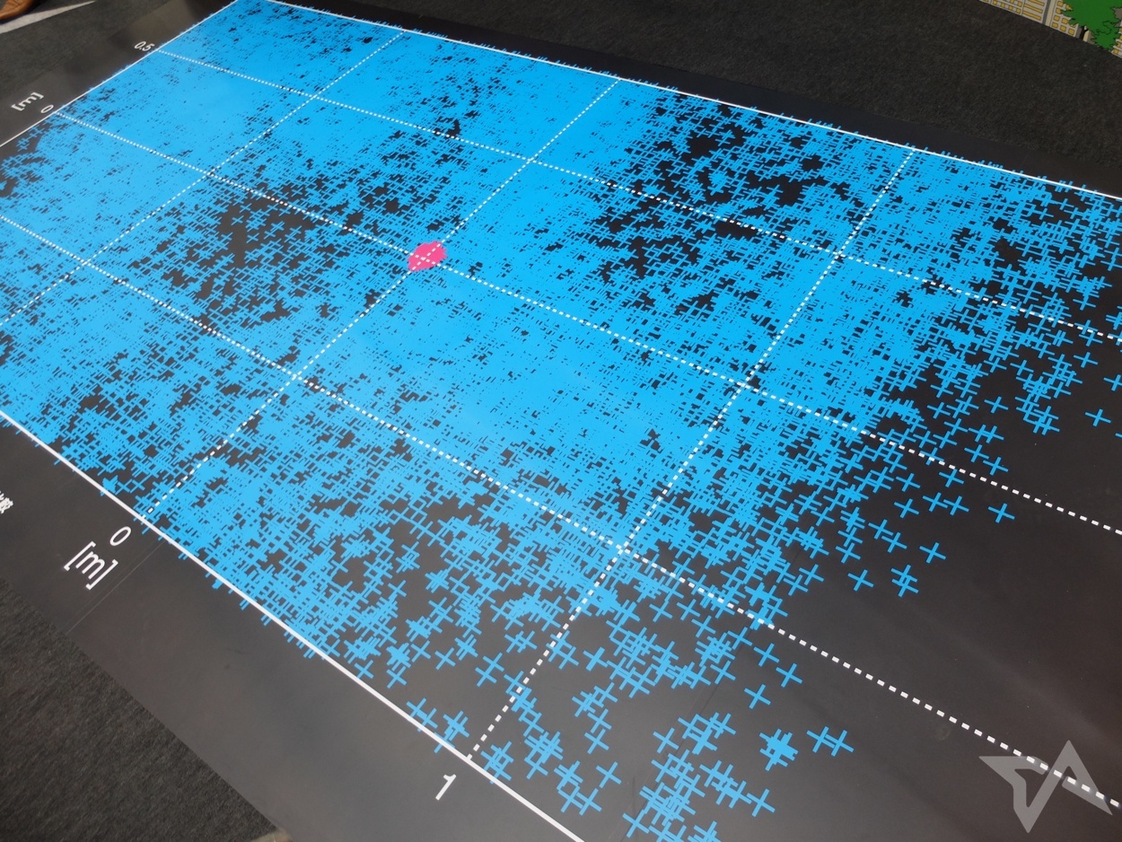
In the picture below, blue + symbols indicate the possible location of the blue dot using standard GPS if the user is standing in the center. The pink + symbols indicate possible blue dot locations using the QZSS. A Mitsubishi Electric spokesperson says that the number of pink + marks concentrated on the middle is the same as the stray blue + marks covering the mat.
Only Japan
While most positioning satellites orbit around the earth’s equator, Mitsubishi’s trio of QZSS satellites are deployed at a specific angle that creates a constant figure-eight orbit over Japan and Australia. This pattern ensures that at least one of the three satellites is above Japan at any given time, enabling the high level of accuracy. It’s further supplemented by three satellites in a standard orbit around the equator, reference stations on the ground, and Google Streetview-like cars that use lasers to map the physical environment.
The pink dots below represent the three QZSS satellites, while blue dots represent standard GPS satellites.
The only caveat is that, because of its fixed position above Japan and the augmentation infrastructure on the ground, QZSS won’t be improving blue dots anywhere except for Japan. The first QZSS satellite was launched in 2010, and the project is on schedule for completion in 2017. The firm also plans to add a fourth satellite to the current array to further boost accuracy. If the technology is licensed by mapping apps made by Google and Apple, visitors to the 2020 Tokyo Olympics should have a much easier time navigating the capital’s bustling streets.





Stay updated on the go with our mobile app.
Get latest insights with smoother, more personalized experience through TIA mobile app.